“This is an extreme event, not your typical winter storm,” says the National Weather Service
Sat. night Scattered showers, mainly after midnight. Cloudy, with a low around 33. Northeast wind 10 to 15 mph. Chance of precipitation is 30 percent.
Sun. A 20 percent chance of rain. Mostly cloudy, with a high near 40. Northeast wind 10 to 15 mph.
Sun. Night A chance of rain before midnight, then freezing rain. Low around 22. Wind chill values between 10 and 20. North wind 10 to 15 mph, with gusts as high as 20 mph. Chance of precipitation is 80 percent. New ice accumulation of less than a 0.1 of an inch possible.
Mon. Snow and sleet before noon, then a slight chance of snow. High near 23. Blustery, with a northwest wind 15 to 20 mph, with gusts as high as 25 mph. Chance of precipitation is 80 percent. New snow and sleet accumulation of less than a half inch possible.
Mon. Night Partly cloudy, with a low around 15.
Tue. Mostly sunny, with a high near 37.
Tue. Night A 30 percent chance of rain after midnight. Mostly cloudy, with a low around 33.
-Travel will be severely impacted by hazardous icy and snowy road conditions. You
should plan to stay put for at least a day beginning Sunday night because
travel may be extremely hazardous Monday. CLICK HERE FOR THE LATEST ROAD CONDITIONS
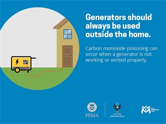
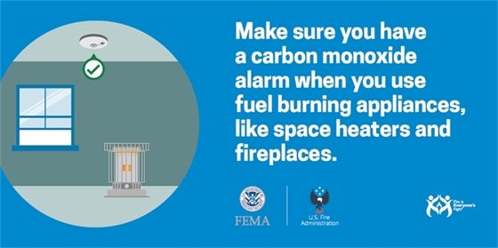
-Sporadic power outages will be a possibility.
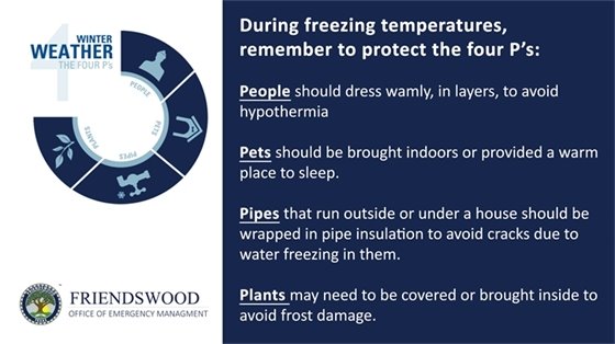
-Pipes and sprinkler systems may burst if not properly cared for in advance. (See instructions below).
-For people outdoors, hypothermia will be a possibility for those not dressed appropriately.
Brutally cold wind chill readings of -7 to 10 degrees will be likely Monday through Tuesday morning.